The Story
MicaSense Altum-PT Multispectral Kit: Pixel-aligned multispectral and thermal data for advanced UAV missions
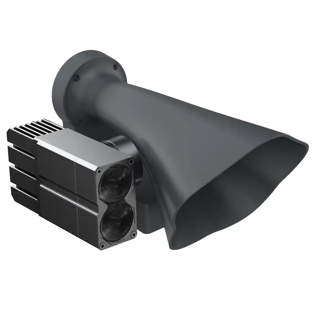
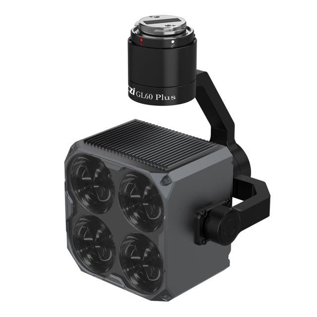
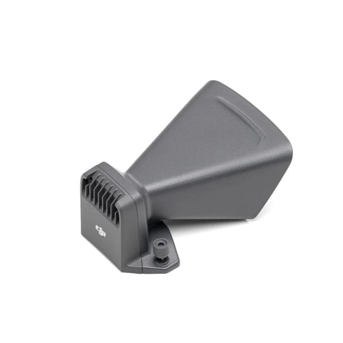
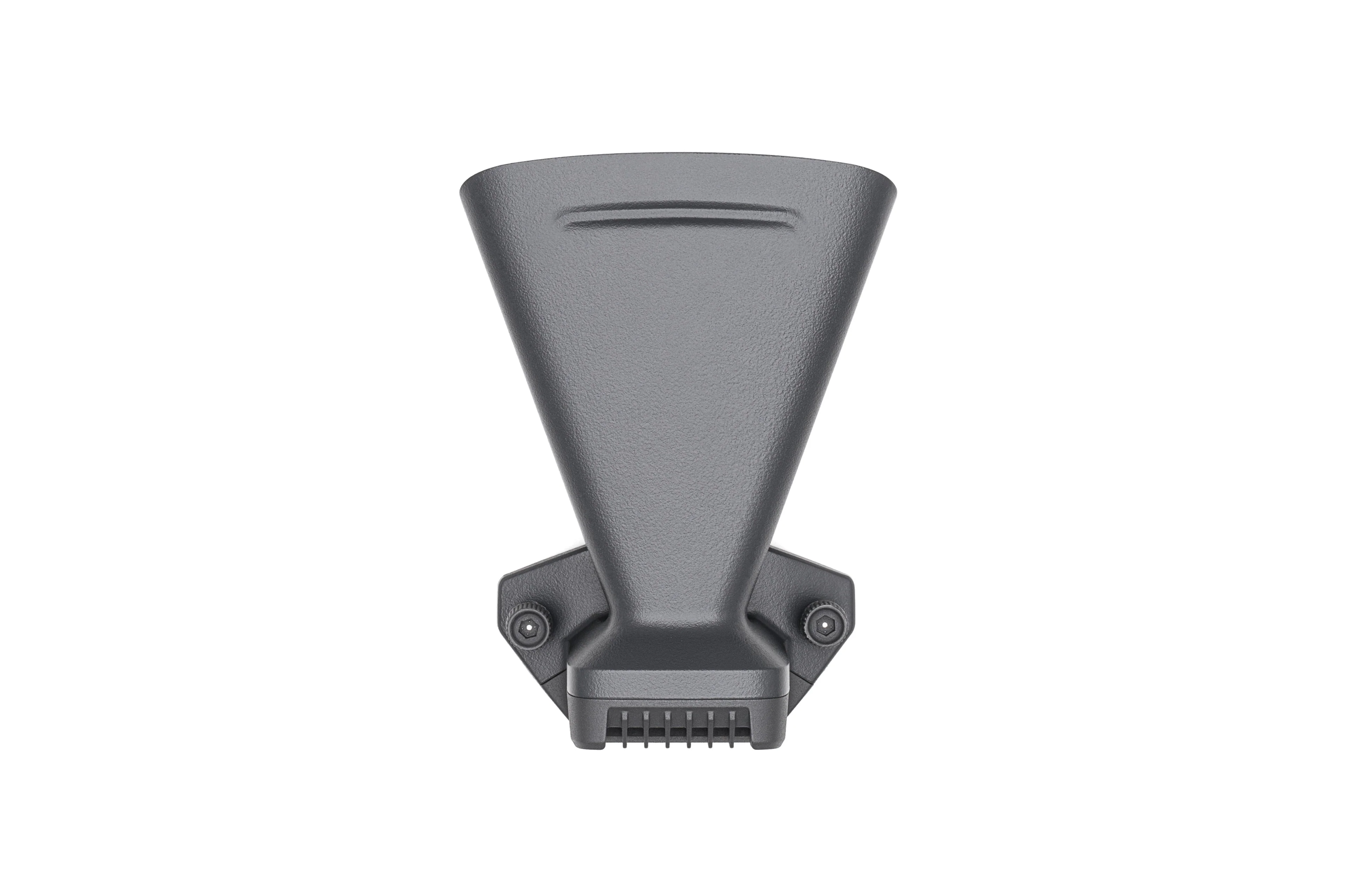
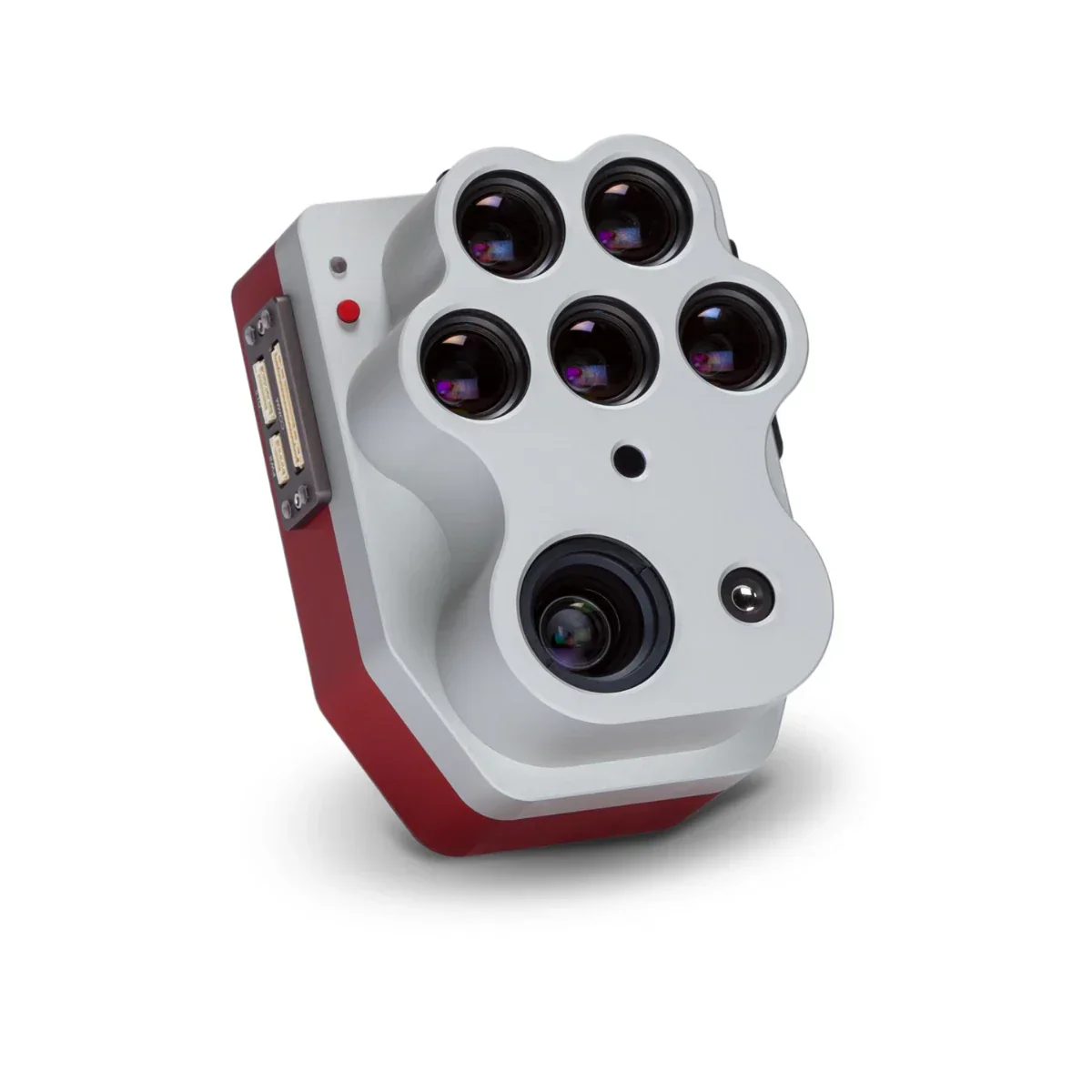
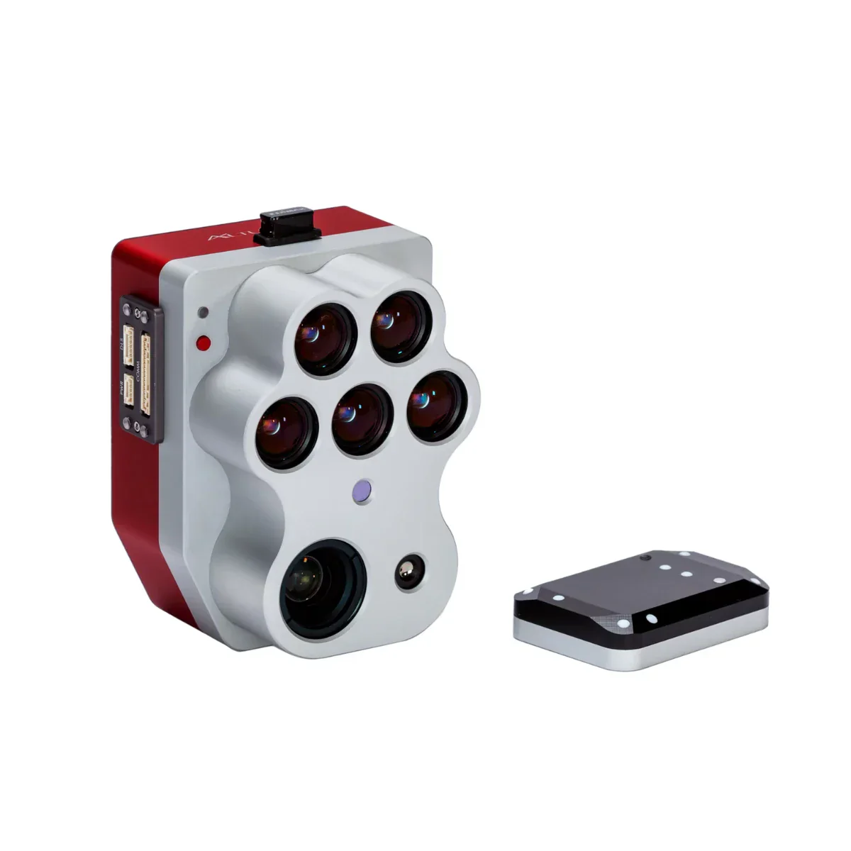
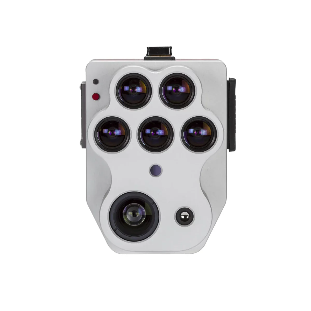
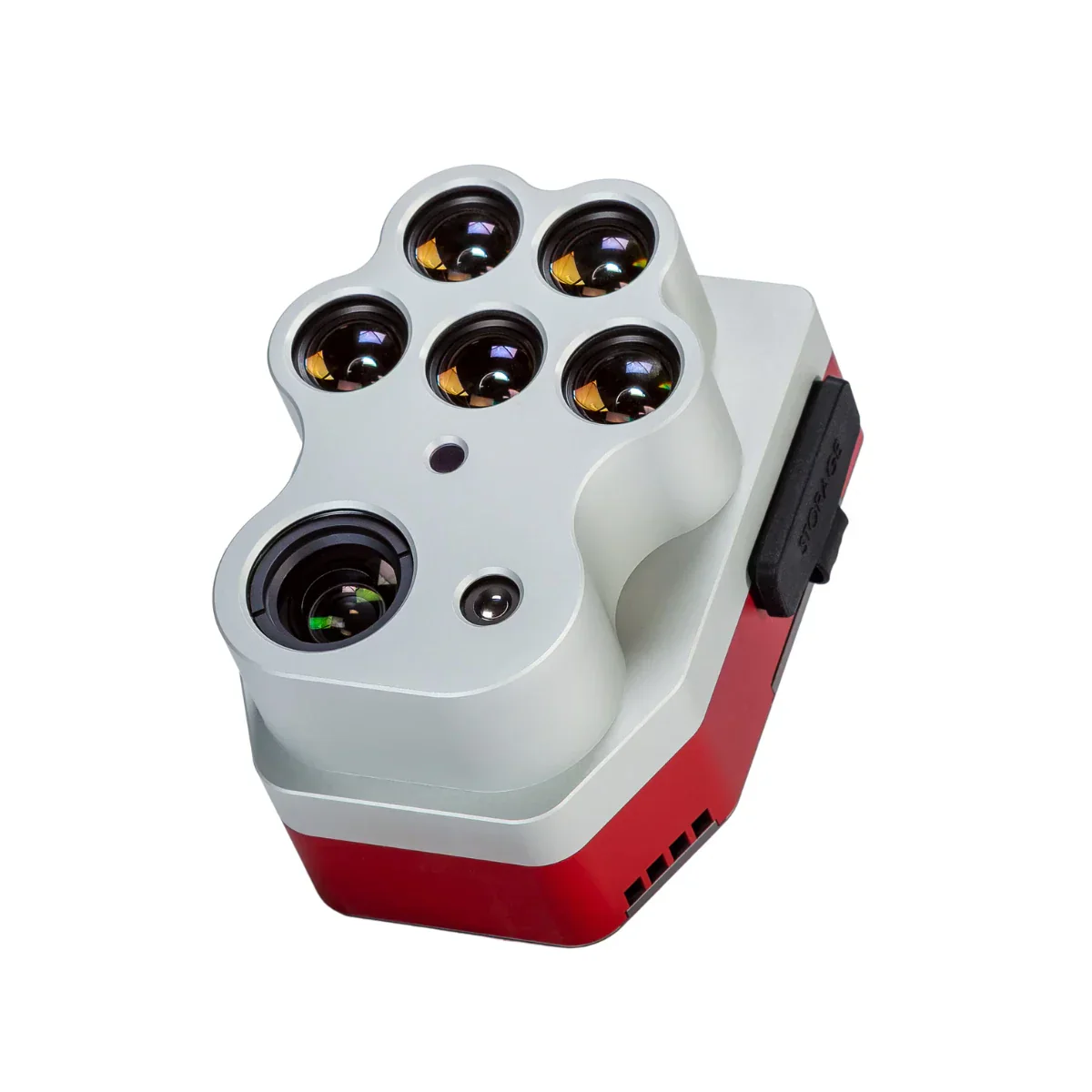
The MicaSense Altum-PT Multispectral Kit is an enterprise-grade aerial sensor built for high-precision analytics across agriculture, research, and environmental monitoring. It integrates five multispectral bands, a high-resolution panchromatic imager, and a radiometrically calibrated thermal sensor into a single synchronized payload.
This unified architecture enables pixel-aligned spectral and thermal datasets captured simultaneously. Designed for demanding field operations, Altum-PT supports workflows requiring accurate radiometry, fine spatial resolution, and consistent performance across repeat missions.
Key features and benefits of the Altum-PT
- Five multispectral bands: Capture discrete visible and near-infrared reflectance
- Panchromatic imager: Enables enhanced spatial resolution through pan-sharpening
- Radiometric thermal sensor: Captures calibrated temperature data
- Synchronized triggering: All sensors captured simultaneously
- Pixel-aligned datasets: Simplifies multi-layer analysis
- High-speed capture: Two RAW DNG captures per second
- CFexpress storage: Supports intensive survey missions
- DLS 2 integration: Improves radiometric reliability
Spatial precision for detailed analytical workflows
Altum-PT emphasizes spatial detail and alignment across sensing modalities. Pan-sharpened outputs reach 1.25 cm per pixel at 60 m and 2.49 cm per pixel at 120 m, supporting leaf-level analysis and early detection of variability. Multispectral and thermal data remain aligned to this spatial detail, enabling confident interpretation of reflectance and temperature patterns. This level of resolution is particularly valuable for precision agriculture, research trials, and monitoring programs requiring consistent, repeatable measurements across time.
Thermal data as a core analytical dimension
Thermal imaging is fully integrated into Altum-PT’s sensing workflow. Radiometrically calibrated LWIR data supports analysis of irrigation efficiency, plant stress, and soil moisture variability. With stated thermal repeatability better than two degrees, Altum-PT enables consistent temperature-based assessments across missions. Because thermal and multispectral data are captured together, users can correlate reflectance indices with surface temperature patterns, supporting deeper insight into crop health and environmental conditions.
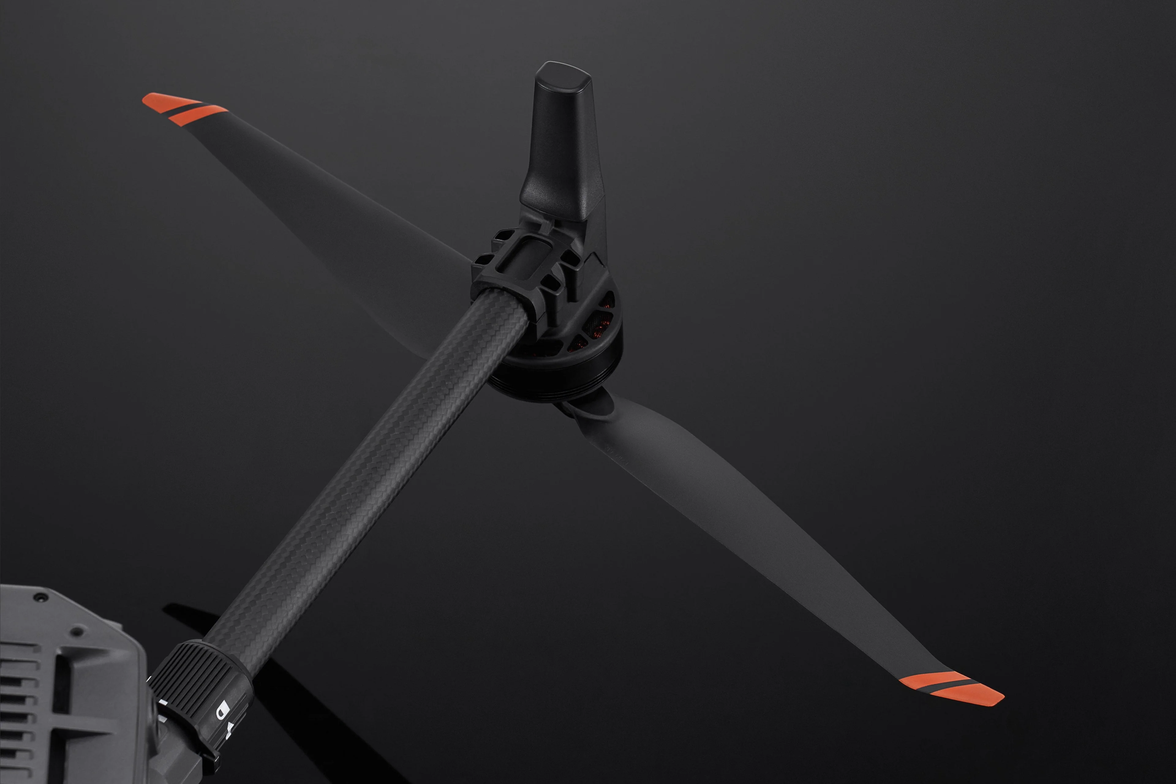
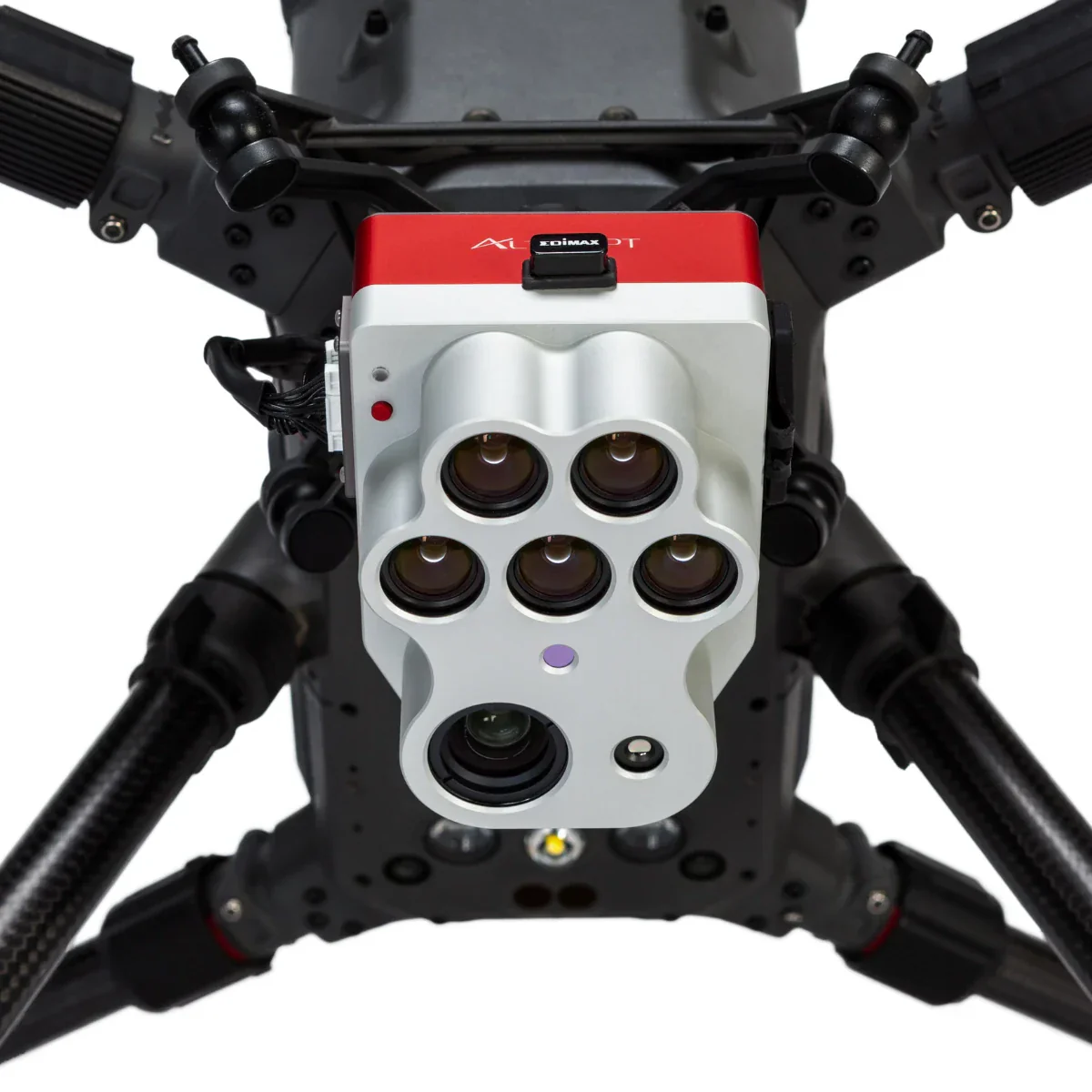
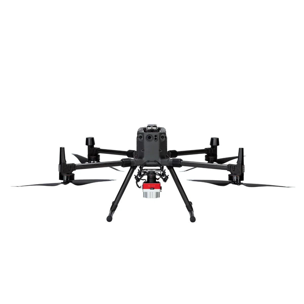
Supported aircraft platforms and integration
- DJI Matrice 400: Supported enterprise integration
- DJI Matrice 350: Supported professional integration
- Inspired Flight IF800: Supported with appropriate integration hardware
- Inspired Flight IF1200: Supported with appropriate integration hardware
- External power: Supports 7.0–25.2 V input
- Open interfaces: Enables flexible UAV integration
Industry use cases and operational scenarios
- Irrigation management: Evaluate system performance and water distribution
- Crop stress monitoring: Detect early indicators using thermal and spectral data
- Research phenotyping: Capture consistent datasets across growth stages
- Yield estimation: Analyze spatial variability within fields
- Environmental surveys: Support vegetation and soil analysis
- Precision agriculture mapping: Enable high-resolution analytics
- Time-series monitoring: Maintain consistent radiometric performance
- Field diagnostics: Support rapid, data-driven decision making
Compare: Altum-PT vs RedEdge-P
| Category | Altum-PT | RedEdge-P |
|---|---|---|
| Core focus | Multispectral + thermal + RGB in a single payload | High-resolution multispectral + RGB capture |
| Thermal capability | Radiometric FLIR LWIR, 320 × 256 | Not available (no thermal sensor) |
| Multispectral bands | 5 bands: Blue, Green, Red, Red Edge, NIR | 5 bands per sensor; up to 10 bands with a dual-camera configuration |
| RGB / panchromatic | 12 MP panchromatic sensor | 5.1 MP panchromatic output (pan-sharpened) |
| Multispectral GSD @120 m | 5.28 cm/pixel | 7.7 cm/pixel |
| Pan-sharpened spatial detail | 2.49 cm/pixel @120 m (≈1.25 cm/pixel @60 m) | ≈3.98 cm/pixel @120 m (≈2 cm with pan-sharpening) |
| Thermal GSD @120 m | 33.5 cm/pixel | N/A |
| Capture rate | Up to 2 images per second (all bands, RAW) | Up to 3 images per second (RAW) |
| Media / storage | CFexpress card | CFexpress card |
| Radiometric calibration | Integrated multispectral + thermal calibration | Multispectral calibration with dual calibration panels |
| Typical system weight | ≈577 g | ≈745 g (dual-sensor configuration) |
| Where it fits best | Irrigation diagnostics, water stress, soil moisture, thermal crop analysis | Vegetation indices, crop vigor, classification, time-series analysis |
Built for enterprise deployment and long-term programs
Altum-PT is designed for integration into enterprise UAV fleets requiring reliability and repeatability. Open interfaces support multiple aircraft platforms, while removable CFexpress storage simplifies data handling in the field. Integrated downwelling light sensing improves consistency across changing illumination conditions. For organizations conducting long-term monitoring or research programs, Altum-PT provides a stable sensing platform capable of delivering high-quality data across diverse operating environments.
Altum-PT delivers a comprehensive sensing solution for professionals who require spatial precision, thermal insight, and synchronized data capture in one payload.
Order from Dronefly today — the West Coast’s trusted enterprise UAV source for advanced sensing payloads and professional integration support.
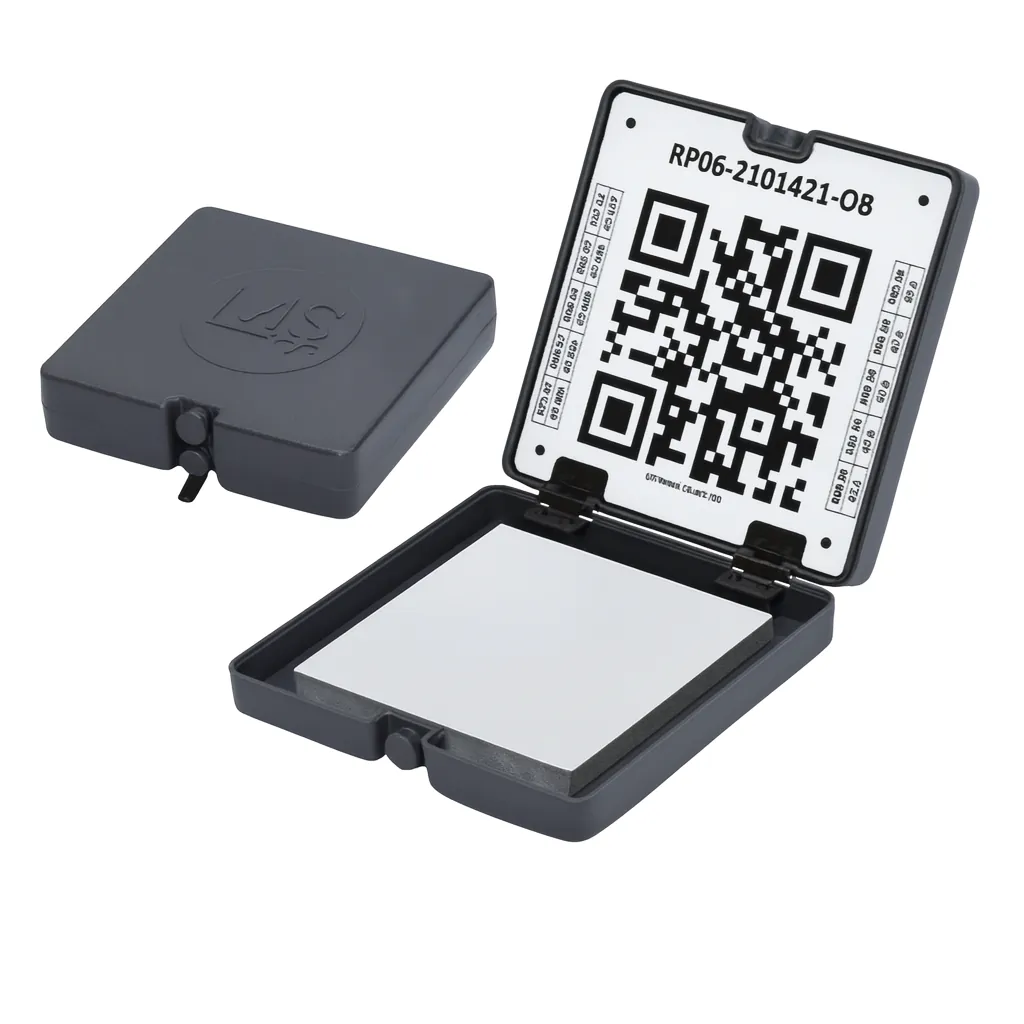
Details & Craftsmanship
Every detail has been carefully considered to bring you the perfect product.
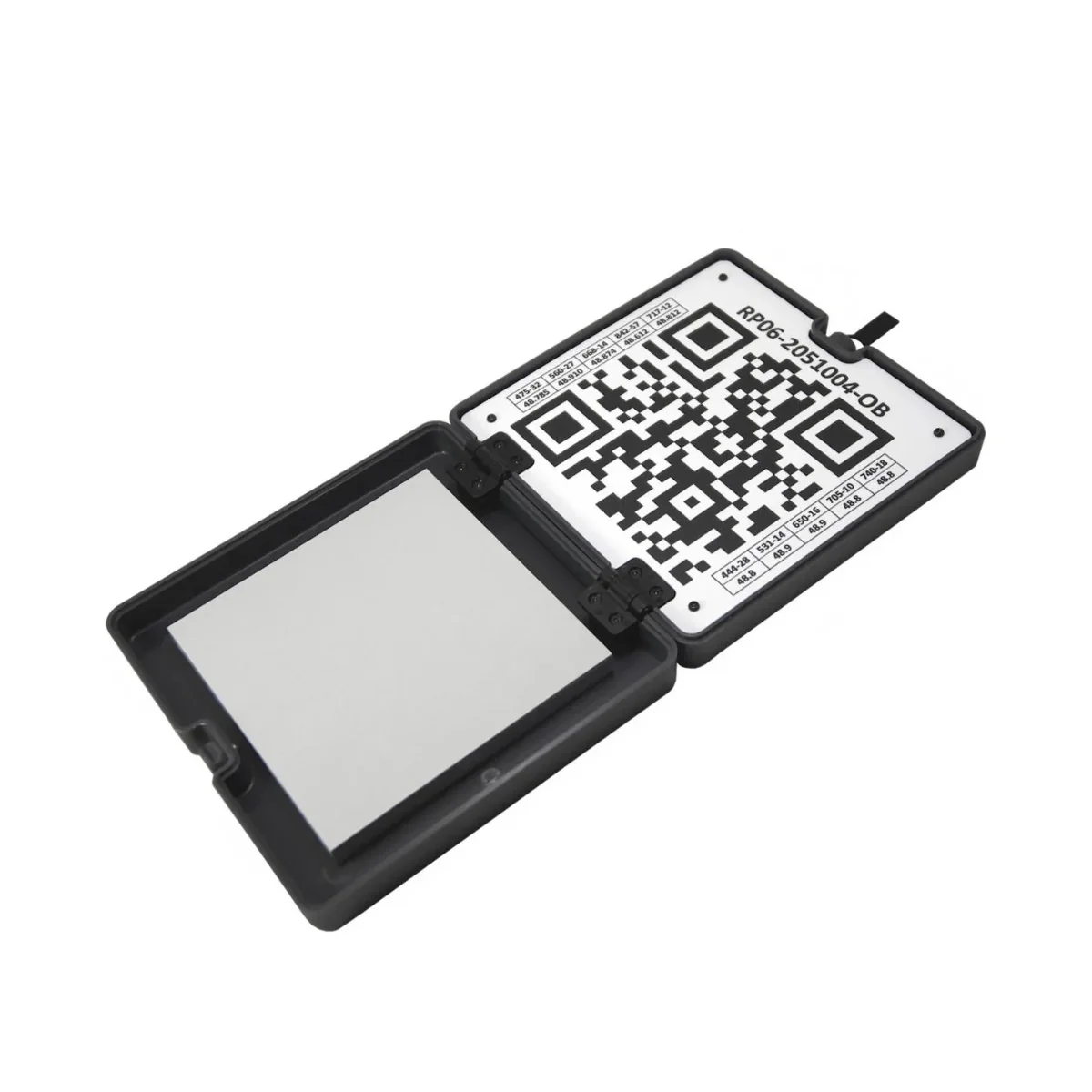
Details & Craftsmanship
Every detail has been carefully considered to bring you the perfect product.
Details & Craftsmanship
Every detail has been carefully considered to bring you the perfect product.
Details & Craftsmanship
Every detail has been carefully considered to bring you the perfect product.
Details & Craftsmanship
Every detail has been carefully considered to bring you the perfect product.
Description
MicaSense Altum-PT Multispectral Kit: Pixel-aligned multispectral and thermal data for advanced UAV missions
The MicaSense Altum-PT Multispectral Kit is an enterprise-grade aerial sensor built for high-precision analytics across agriculture, research, and environmental monitoring. It integrates five multispectral bands, a high-resolution panchromatic imager, and a radiometrically calibrated thermal sensor into a single synchronized payload.
This unified architecture enables pixel-aligned spectral and thermal datasets captured simultaneously. Designed for demanding field operations, Altum-PT supports workflows requiring accurate radiometry, fine spatial resolution, and consistent performance across repeat missions.
Key features and benefits of the Altum-PT
- Five multispectral bands: Capture discrete visible and near-infrared reflectance
- Panchromatic imager: Enables enhanced spatial resolution through pan-sharpening
- Radiometric thermal sensor: Captures calibrated temperature data
- Synchronized triggering: All sensors captured simultaneously
- Pixel-aligned datasets: Simplifies multi-layer analysis
- High-speed capture: Two RAW DNG captures per second
- CFexpress storage: Supports intensive survey missions
- DLS 2 integration: Improves radiometric reliability
Spatial precision for detailed analytical workflows
Altum-PT emphasizes spatial detail and alignment across sensing modalities. Pan-sharpened outputs reach 1.25 cm per pixel at 60 m and 2.49 cm per pixel at 120 m, supporting leaf-level analysis and early detection of variability. Multispectral and thermal data remain aligned to this spatial detail, enabling confident interpretation of reflectance and temperature patterns. This level of resolution is particularly valuable for precision agriculture, research trials, and monitoring programs requiring consistent, repeatable measurements across time.
Thermal data as a core analytical dimension
Thermal imaging is fully integrated into Altum-PT’s sensing workflow. Radiometrically calibrated LWIR data supports analysis of irrigation efficiency, plant stress, and soil moisture variability. With stated thermal repeatability better than two degrees, Altum-PT enables consistent temperature-based assessments across missions. Because thermal and multispectral data are captured together, users can correlate reflectance indices with surface temperature patterns, supporting deeper insight into crop health and environmental conditions.
Supported aircraft platforms and integration
- DJI Matrice 400: Supported enterprise integration
- DJI Matrice 350: Supported professional integration
- Inspired Flight IF800: Supported with appropriate integration hardware
- Inspired Flight IF1200: Supported with appropriate integration hardware
- External power: Supports 7.0–25.2 V input
- Open interfaces: Enables flexible UAV integration
Industry use cases and operational scenarios
- Irrigation management: Evaluate system performance and water distribution
- Crop stress monitoring: Detect early indicators using thermal and spectral data
- Research phenotyping: Capture consistent datasets across growth stages
- Yield estimation: Analyze spatial variability within fields
- Environmental surveys: Support vegetation and soil analysis
- Precision agriculture mapping: Enable high-resolution analytics
- Time-series monitoring: Maintain consistent radiometric performance
- Field diagnostics: Support rapid, data-driven decision making
Compare: Altum-PT vs RedEdge-P
| Category | Altum-PT | RedEdge-P |
|---|---|---|
| Core focus | Multispectral + thermal + RGB in a single payload | High-resolution multispectral + RGB capture |
| Thermal capability | Radiometric FLIR LWIR, 320 × 256 | Not available (no thermal sensor) |
| Multispectral bands | 5 bands: Blue, Green, Red, Red Edge, NIR | 5 bands per sensor; up to 10 bands with a dual-camera configuration |
| RGB / panchromatic | 12 MP panchromatic sensor | 5.1 MP panchromatic output (pan-sharpened) |
| Multispectral GSD @120 m | 5.28 cm/pixel | 7.7 cm/pixel |
| Pan-sharpened spatial detail | 2.49 cm/pixel @120 m (≈1.25 cm/pixel @60 m) | ≈3.98 cm/pixel @120 m (≈2 cm with pan-sharpening) |
| Thermal GSD @120 m | 33.5 cm/pixel | N/A |
| Capture rate | Up to 2 images per second (all bands, RAW) | Up to 3 images per second (RAW) |
| Media / storage | CFexpress card | CFexpress card |
| Radiometric calibration | Integrated multispectral + thermal calibration | Multispectral calibration with dual calibration panels |
| Typical system weight | ≈577 g | ≈745 g (dual-sensor configuration) |
| Where it fits best | Irrigation diagnostics, water stress, soil moisture, thermal crop analysis | Vegetation indices, crop vigor, classification, time-series analysis |
Built for enterprise deployment and long-term programs
Altum-PT is designed for integration into enterprise UAV fleets requiring reliability and repeatability. Open interfaces support multiple aircraft platforms, while removable CFexpress storage simplifies data handling in the field. Integrated downwelling light sensing improves consistency across changing illumination conditions. For organizations conducting long-term monitoring or research programs, Altum-PT provides a stable sensing platform capable of delivering high-quality data across diverse operating environments.
Altum-PT delivers a comprehensive sensing solution for professionals who require spatial precision, thermal insight, and synchronized data capture in one payload.
Order from Dronefly today — the West Coast’s trusted enterprise UAV source for advanced sensing payloads and professional integration support.